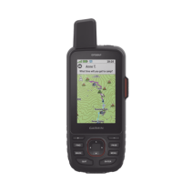
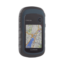
GPS portátil GPSMAP 67, dispositivo portátil multisatelital de alta precision, con mapas topográficos instalados.
217310
GPS Garmin GPSMAP 67 de alta precisión, pantalla TFT legible a la luz solar y 16 GB de memoria interna. Ideal para aventuras al aire libre.
 Security policy
(edit with the Customer Reassurance module)
 Delivery policy
(edit with the Customer Reassurance module)
 Return policy
(edit with the Customer Reassurance module)